Resiliency
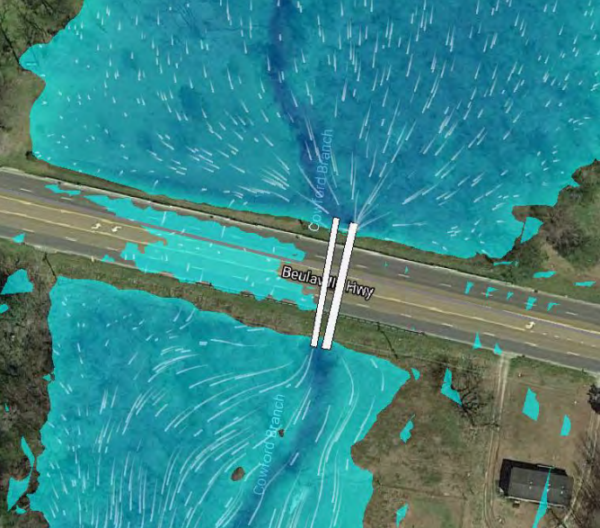
Hurricane Florence, a large and slow moving category one hurricane, made landfall during the morning of September 14, 2018. The City of Jacksonville and Onslow County experienced flooding countywide in areas that have never flooded before. After the storm passed, members of the community began to discuss how to evaluate and mitigate the flooding within Onslow County and its impact on the transportation network.
Objectives
Transportation Resiliency Action Committee (TRAC) began meeting in January 2019 with the goal to strengthen mobility to improve community resiliency. The goal was to use data that is publicly available and maintained by others creating a framework that could be easily reproduced by others. They established the following objectives:
1. Reduce the frequency and duration of regional isolation.
2. Reduce the frequency and duration of local isolation from strategic points of interest.
3. Identify and implement operational systems that improve mobility.
Key Areas of Focus

Frequency
How often does a crossing overtop the road?
Criticality
How critical is a crossing to the overall transportation network?
Duration
When a crossing does overtop, how long does the road remain impassible?
Prioritization
The result of the initiative has been compiled into an interactive dashboard which list the crossings that are prioritized as either high, medium, or low. The intent of prioritizing each crossing allows a focused approach to discuss possible improvements at these crossings with NCDOT either through future State Transportation Improvement Program (STIP) projects or through maintenance projects. Modeling the no named storm of September 2010 also allows JUMPO the opportunity to discuss with NCDOT the possibility of amending their design standards in areas that are known to flood.
Please zoom in on the virtual dashboard below to visualize crossing locations and their prioritization:
Please click on the buttons below for a complete list regarding prioritization of each of the crossings:
For more information regarding the data resources, please visit the link below:
Many thanks to the members of TRAC who contributed to the success of this initiative:
