MAPS

FY 2024-2033 STIP
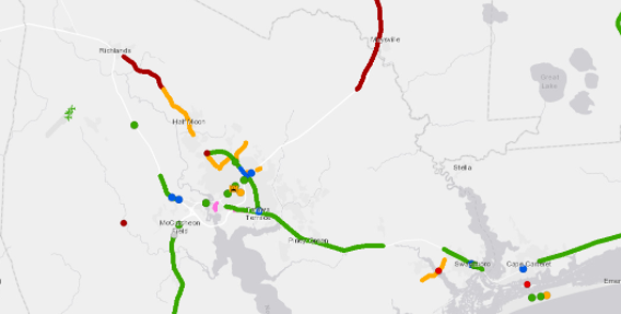
The FY 2023-2033 State Transportation Improvement Program map is interactive and provided by NCDOT. It shows all projects that are programmed for construction. Click on the projects for more information.

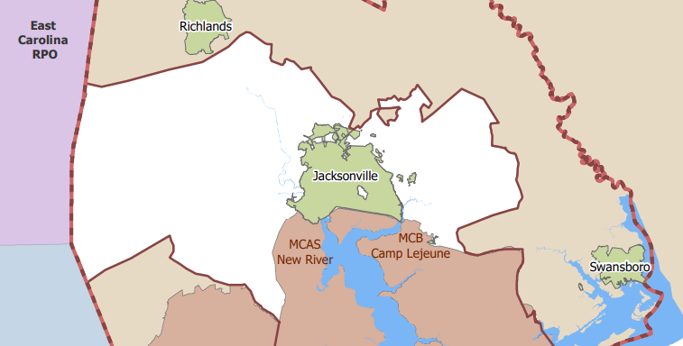
JUMPO PLANNING AREA BOUNDARY
The JUMPO planning area boundary was expanded on May 20, 2021 to encompass all of Onslow County with the exception of the Town of Surf City. Our planning area currently includes the City of Jacksonville, Onslow County, and the towns of Richlans, Swansboro, Holly Ridge, and North Topsail Beach.

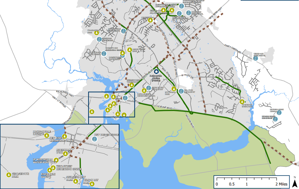
JACKSONVILLE TRAIL AND GREENWAY MAP

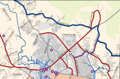
FY 2024 POWELL BILL
MAP

